CSDMS meeting 2018: Difference between revisions
No edit summary |
No edit summary |
||
| Line 79: | Line 79: | ||
|} | |} | ||
==Clinics== | ==Clinics== | ||
{ | {{Clinic_presentations_header}} | ||
{{#ask: [[Category:Presentations_DB]][[CSDMS meeting presentation type::Clinic]] | |||
| ?CSDMS meeting first name | |||
| ?CSDMS meeting last name | |||
| ?CSDMS meeting title presentation | |||
| limit=5000 | |||
| sort=CSDMS meeting last name | |||
| order=ASC | |||
| template=Presenters_clinics | |||
| format=template | |||
}}</table> | |||
<br> | |||
| | |||
| | |||
| | |||
| | |||
| | |||
| | |||
| | |||
| | |||
==Posters== | ==Posters== | ||
Revision as of 08:05, 6 August 2018
Geoprocesses, geohazards - CSDMS 2018
May 22-24th 2018 in Boulder Colorado, USA

Thank You
On behalf of CSDMS, we thank the Keynote Speakers, Clinic Leaders, Session Chairs, Poster Session Presenters, members of the Executive and Steering Committees, and every participant who helped to make this a productive and successful meeting. Special thanks to the NSF PREEVENTS program manager Dr. Justin Lawrence for supporting this meeting.
White Paper
We are anticipating to submit the White Paper by end of July, 2018 to meet deadline of the National Academy of Sciences Committee that is just beginning the next decadal survey for the Earth Sciences. If you would like to contribute, please email CSDMS@Colorado.edu with the subject: White Paper no later then June 15th. The white paper will be published later here as well.
Special issue
We are pleased to announce that the open-access EGU journal Natural Hazards and Earth System Sciences (NHESS) will work with us to publish the special issue: Advances in computational modeling of natural and geohazards. We now soliciting contributions for this NHESS special issue.
Agenda
Click here to view the final agenda.
Presentations
Keynote talks
Clinics
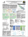
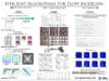
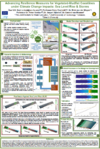
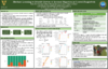
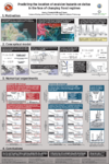
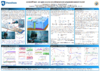
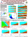
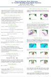
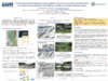
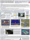
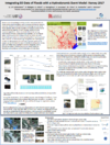
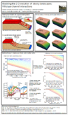
Posters