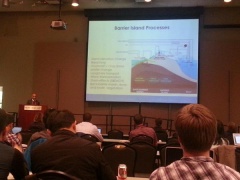
Presentations and more of the CSDMS 2015 annual meeting
Models meet Data, Data meet Models
May 26-28th 2015 in Boulder Colorado, USA

Thank You
On behalf of CSDMS, we thank the Keynote Speakers, Clinic Leaders, Session Chairs, Poster Session Presenters, members of the Executive and Steering Committees, and every participant who helped to make this a productive and successful meeting.
Agenda
Click here to view the final agenda
Presentations
Keynote talks
| Presenter | Title |
|---|
| Cohn, Nick |
Towards assessing the coastal zone as an integrated system: the development of a coupled nearshore and aeolian dune model |
| Fath, Brian |
Quo Vadis Ecosystem? Insights from Ecological Modelling and Systems Ecology |
| Flores, Lejo |
Critical Zone Observratory |
| Glaubius, Jennifer |
Coupled Human and Natural Systems: Testing the Impact of Agricultural Terraces on Landscape Evolution |
| Hill, Mary |
Testing model analysis frameworks |
| Hoffman, Forrest |
International Land Model Benchmarking Project |
| Hood, Raleigh |
Modeling the Chesapeake Bay |
| LeVeque, Randy |
The GeoClaw Software |
| Meselhe, Ehab |
Coastal Eco-System Integrated Compartment Model (ICM) |
| Nativi, Stefano |
GEOSS and its Common Infrastructure |
| Olive, Jean-Arthur |
Modes of extensional faulting controlled by surface processes |
| Sherwood, Chris |
CSDMS Interagency Working Group |
| Straub, Kyle |
Signals of Relative Sea Level perturbations: Defining the divide between autogenic signal shredding vs. preservation in the stratigraphic record |
| Syvitski, James |
CSDMS updates |
| Upton, Phaedra |
Models meet Data, Earth Surface meet Geodynamics |
| Wiberg, Patricia |
Welcome |
Clinics
| Presenter | Title |
|---|
| Bhatt, Gopal |
Accessing National Data and Distributed Models for Catchment Simulation |
| Cheng, Zhen |
Modeling Coastal Sediment Transport Using OpenFOAM® |
| Goodall, Jon |
Integrated Modeling Concepts |
| Hutton, Eric |
Wrapping existing models with the Basic Model Interface |
| Murray, Brad |
Coastline Evolution Model (CEM) |
| Overeem, Irina |
Exploring the influence of fault damage and fault slip on the patterns and rates of fluvial incision using CHILD and Matlab |
| Piper, Mark |
WMT and the Dakota iterative systems analysis toolkit |
| Pollak, Jon |
Data Access and Publication with the CUAHSI Water Data Center |
| Roy, Sam |
Exploring the influence of fault damage and fault slip on the patterns and rates of fluvial incision using CHILD and Matlab |
| Tucker, Greg |
Landlab: A Python library for building, exploring, and coupling 2D surface-process models |
Posters
Is your poster not displayed below? Please email your poster to:CSDMSweb@colorado.edu. We can open a FTP site for you if the poster is to large to email. Thank you!
| Author(s)
|
Title
|
Download (pdf)
|
| Chen Bao
|
RT-Flux-PIHM: A Coupled Hydrological, Land Surface, and Reactive Transport Model for Hydrogeochemical Processes at the Watershed Scale
|

|
| Getachew Belete
|
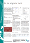
Real-time integration of models
|
|
| Georgie Bennett
|
Landslide and denudational response to transient tectonic uplift in northern California: Lag times and a landslide buzz-saw
|
|
| Megan Caldwell
|
Changes in Southern Rocky Mountain Forests: Using Ecosystem Process Modelling to Project Critical Transitions
|
|
| Shawn Carter
|
Quantifying the Effects of Land Use Dynamics on Global Scale Fluvial Suspended Sediment Flux
|
|
| Yunxiang Chen
|
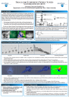
Shallow Coherent Structures Generated By Jets
|
|
| Zhen Cheng
|
A Turbulence-resolving Eulerain Two-Phase Model for Sediment Transport Applications
|
|
| Blake Clark
|
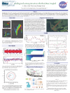
Three-dimensional modeling of a Chesapeake Bay tidal marsh ecosystem
|
|
| Sagy Cohen
|
Spatially explicit modeling of particulate nutrient flux in global rivers
|
|
| Hamid Dashti
|
Improving ecosystem dynamic models in a semi-arid ecosystem by integrating different sources of remotely sensed data
|
|
| Zhuochen Han
|
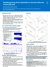
Modeling gravity-driven deposition on the East China Sea continental shelf
|
|
| Sarah Harbert
|
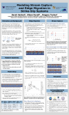
Modeling Stream Capture in Strike-Slip Systems
|
|
| Courtney Harris
|
Storm-driven delivery of sediment to the continental slope: Numerical modeling for the northern Gulf of Mexico
|
|
| Stephanie Higgins
|
Potential impacts of Indian Rivers Inter-links on sediment transport to the Ganges-Brahmaputra Delta
|

|
| Shelley Jeltema
|
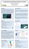
Creating Educational Materials for Python and GIS
|
|
| Peishi Jiang
|
Semantics-Enabled Paradigm for Model Integration
|
|
| Margaret Jones
|
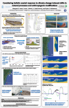
Considering holistic coastline response to climate-change induced shifts in natural processes and anthropogenic modifications
|
|
| Albert Kettner
|
CSDMS Tools to Promote Visibility of Open-source Model Code
|

|
| Anthony Longjas
|
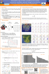
Vulnerability maps of deltas: quantifying how network connectivity modulates upstream change to the shoreline
|
|
| Li Li
|
RT-Flux-PIHM: A Coupled Hydrological, Land Surface, and Reactive Transport Model for Hydrogeochemical Processes at the Watershed Scale
|
|
| Qi Li
|
Exploring the imprint of tectonics on sediment output from a small mountain watershed
|
|
| Man Liang
|
Reduced-Complexity Model (RCM) for River Delta Formation – Model Assessment and Application
|
|
| Laurence Lin
|
Modeling water and solute fluxes from terrestrial to aquatic ecosystems
|
|
| Wei Luo
|
Web-based Interactive Landform Simulation Model - Grand Canyon (WILSIM-GC) and Its Advantages in Enhancing Students’ Learning
|
|
| Luke McGuire
|
High resolution modeling of overland flow and sediment transport following wildfire
|
|
| Angel Monsalve
|
Formation and establishment of forced sediment patches in high gradient channels
|
|
| Crystal Ng
|
Integrating data and models with an ensemble Kalman filter to examine Mojave Desert ecohydrology
|
|
| Jaap Nienhuis
|
Wavelength selection of tidally reversing mega-ripples, field observations and comparison with numerical flow modeling
|
|
| Daniel O'Hara
|
Landscape Evolution in Response to Laccolith Inflation: Insights from Numerical Modeling with Application to the Colorado Plateau
|
|
| Irina Overeem
|
Bringing earth surface processes simulations to large audiences
|
|
| Mariela Perignon
|
Extreme Floods as Agents of Landscape Evolution: Modeling the 2013 Front Range Flood, Colorado, USA
|
|
| Katherine Ratliff
|
River-ocean interactions: Building a new morphodynamic delta model
|
|
| Salik Anders Rosing
|
Sediment Deposition in the Cretaceous North Sea – a Modelling Approach
|
|
| Samuel Roy
|
Quantifying topographic anisotropy at multiple scales
|
|
| Shimelis Setegn
|
Development of hydrologic and water quality models for sustainable Integrated Water Resources Management
|
|
| Harutyun Shahumyan
|
Challenges and a solution in coupling dissimilar models for complex planning policy analysis
|

|
| Ryan Sincavage
|
Comparing morphologic and stratigraphic field data from a tectonic basin on the Ganges-Brahmaputra River delta with results from a reduced-complexity model for river delta formation
|
|
| Monica Stone
|
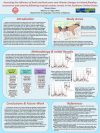
Quantifying the influence of land use/land cover change on inland flooding occurrence and severity following hurricane events using a physically-based hydrology/hydraulics model
|
|
| Mahdad Talebpour
|
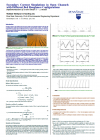
Secondary current simulations in open channels with different bed roughness configurations
|
|
| Danielle Tarpley
|
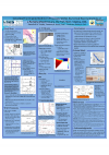
Including fine-grained sediment processes within numerical representations of a partially-mixed estuary, the York River, Virginia
|
|
| Alejandro Tejedor
|
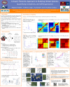
A graph-theoretic approach to Studying Deltaic Systems: Quantifying Complexity and Self-Organization
|
|
| Reggie Walters
|
Soil carbon in the Critical Zone: spinning up an ecohydrologic model using spatiotemporally distributed data records
|
|
| Tong Wan
|
Bedload sediment modeling at a global scale based on the WBMsed model
|
|
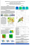
| Katelyn Watson
|
Assessing the water balance of Dry Creek Experimental Watershed via an integrated modeling system
|
|
| Patricia Wiberg
|
Quantifying the spatial distribution of bed properties in shallow coastal bays
|

|
| Garry Willgoose
|
Developing a soils-regolith evolution model for the design of covers for hazardous and nuclear waste containment facilities
|
|
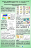
| Fei Xing
|
The impacts of hurricanes and winter cold fronts on the morphological evolution of the Wax Lake Delta, LA
|
|
| Yuncheng Xu
|
Morphological impact of large woody debris: Numerical and Experimental Modeling
|
|
| Yu Zhang
|
The harmony of data-model interaction in landscape evolution modeling, an example from the Shale Hills CZO of central Pennsylvania
|
|
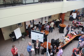
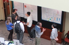
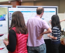
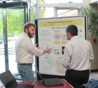
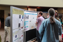
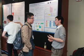
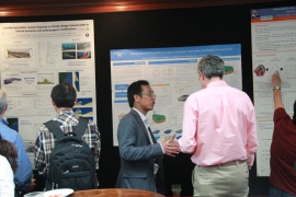
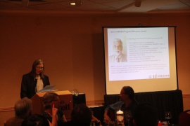
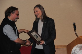
pictures of the meeting


