2025 CSDMS meeting-124
From CSDMS
(if you haven't already)
Log in (or create account for non-CSDMS members)
Forgot username? Search or email:CSDMSweb@colorado.edu
Browse abstracts
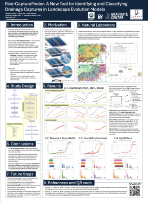
RiverCaptureFinder: A New Tool for Identifying and Classifying Drainage Captures in Landscape Evolution Models
Renato da Silva,
(He/Him),Queens College (CUNY) New York New York, United States. rdasilva@gradcenter.cuny.edu
Pedro Val, Queens College New York New York, United States. pval@qc.cuny.edu
Pedro Oliveira, Queens College New York New York, United States. poliveira@gradcenter.cuny.edu
Drainage capture and divide migration are critical processes that shape tectonically quiescent landscapes. However, the frequency and magnitude of drainage captures, especially under varying lithologic conditions are still poorly understood. In this context, we present the RiverCaptureFinder, a function designed for Landlab that identifies drainage capture events and extracts geomorphic metrics upstream and downstream of the capture point. To explore river captures using this function, we simulate landscape evolution using the StreamPowerEroder function in Landlab. Starting with an equilibrium landscape, we tested several transient scenarios. For scenario 1, we varied the resistant rock layer width (in map view); for scenario 2, we modified the erodibility contrast; and for scenario 3, we explored different uplift rates. In each scenario, RiverCaptureFinder was used to track drainage capture events and compute geomorphic metrics (drainage area, local relief, mean elevation, slope, chi, and ksn). Our preliminary results show that a thinner resistant layer delays drainage capture, results in lower local relief, gentler slopes, and lower ksn values, and ultimately results in smaller captured areas. A thicker resistant layer leads to earlier and larger river captures, higher local relief, steeper slopes, and elevated ksn values for a longer period. Varying erodibility contrast yields similar results, with lower contrast having capture-related geomorphic characteristics similar to the previous scenario with thinner rocks. Conversely, higher contrasts produce geomorphic responses similar to the scenarios with a wider resistant rock. Lastly, even though less significant than the latter, lower uplift delays capture and leads to lower mean elevation, whereas higher uplift increases captured drainage area but reduces mean elevation, local relief, slope, and ksn. In conclusion, the RiverCaptureFinder analysis indicates that drainage captures are more sensitive to changes in rock-resistant thickness (in map-view) and erodibility contrast, which can affect how frequent and how big the captures will be over time in tectonically quiescent landscapes.