Annualmeeting:2017 CSDMS meeting-121: Difference between revisions
Created page with "{{CSDMS meeting personal information template-2014 |CSDMS meeting first name=Mariam |CSDMS meeting last name=Khanam |CSDMS meeting institute=The University of Alabama |CSDMS m..." |
No edit summary |
||
| Line 42: | Line 42: | ||
{{CSDMS meeting abstract template | {{CSDMS meeting abstract template | ||
|CSDMS meeting abstract=Climate change has altered the frequency and intensity of hydrologic events like precipitation and flood, yielding vulnerability of communities dwelling in coastal and inland flood plains. Flood prediction and mitigation systems are necessary for improving public safety and community resilience all over the world at Country, continental and global scales. Numerical simulation of flood event has become a very useful and commonly used tool for studying and predicting flood events and susceptibility. One of the major challenges in hydraulic modeling is accurate description of river and floodplain geometries. The increased availability of high-resolution DEMs (e.g. LiDAR data) alleviates this challenge for floodplains but (with the exception of blue/green LiDAR surveys) not for river channels. Here we investigate the effect of river bathymetry data on numerical simulations of flood events. Two numerical models (GSSHA and Mike 21) were used for comparison in the results. Three channel geometry inputs were simulated for three river reaches of different sizes: DEM-captured elevation (water surface), hydraulic geometries (empirical estimation), and observed river bathymetry. | |CSDMS meeting abstract=Climate change has altered the frequency and intensity of hydrologic events like precipitation and flood, yielding vulnerability of communities dwelling in coastal and inland flood plains. Flood prediction and mitigation systems are necessary for improving public safety and community resilience all over the world at Country, continental and global scales. Numerical simulation of flood event has become a very useful and commonly used tool for studying and predicting flood events and susceptibility. One of the major challenges in hydraulic modeling is accurate description of river and floodplain geometries. The increased availability of high-resolution DEMs (e.g. LiDAR data) alleviates this challenge for floodplains but (with the exception of blue/green LiDAR surveys) not for river channels. Here we investigate the effect of river bathymetry data on numerical simulations of flood events. Two numerical models (GSSHA and Mike 21) were used for comparison in the results. Three channel geometry inputs were simulated for three river reaches of different sizes: DEM-captured elevation (water surface), hydraulic geometries (empirical estimation), and observed river bathymetry. | ||
|CSDMS meeting posterPDF=MariamKhanam_CSDMS2017.pdf | |||
|CSDMS meeting posterPNG=MariamKhanam_CSDMS2017.png | |||
}} | }} | ||
{{blank line template}} | {{blank line template}} | ||
Latest revision as of 11:21, 6 June 2017
Browse abstracts
The effect of river bathymetry on flood simulations
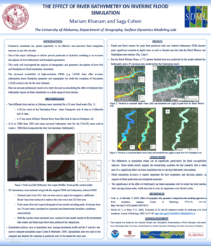
Climate change has altered the frequency and intensity of hydrologic events like precipitation and flood, yielding vulnerability of communities dwelling in coastal and inland flood plains. Flood prediction and mitigation systems are necessary for improving public safety and community resilience all over the world at Country, continental and global scales. Numerical simulation of flood event has become a very useful and commonly used tool for studying and predicting flood events and susceptibility. One of the major challenges in hydraulic modeling is accurate description of river and floodplain geometries. The increased availability of high-resolution DEMs (e.g. LiDAR data) alleviates this challenge for floodplains but (with the exception of blue/green LiDAR surveys) not for river channels. Here we investigate the effect of river bathymetry data on numerical simulations of flood events. Two numerical models (GSSHA and Mike 21) were used for comparison in the results. Three channel geometry inputs were simulated for three river reaches of different sizes: DEM-captured elevation (water surface), hydraulic geometries (empirical estimation), and observed river bathymetry.
