2019 CSDMS meeting-033
Log in (or create account for non-CSDMS members)
Forgot username? Search or email:CSDMSweb@colorado.edu
Browse abstracts
Quantifying variability in streamflow distributions to understand the relationships between climate, topography and erosion
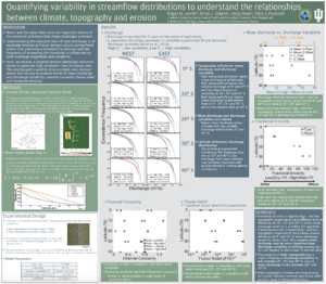
Landscape evolution is driven by tectonic processes that build up topography and erosional processes that work to tear down that topography and move material out of the landscape. Climate or more specifically water accumulated in rivers as discharge, is an important driver of these erosional processes. Despite its influence in shaping landscapes, there remains much to be learned concerning the relationships between climate, topography and discharge variability in forcing erosion. One reason for this is that climate itself, as well as the relationship between climate and erosion, is difficult to measure. Climate data typically consists of temporally averaged modern measurements of rainfall, which often miss important variability; or spatially inconsistent discharge data from stream gauges. Further, fluvial incision occurs during flood events that overcome a threshold for erosion, the frequency of exceeding this threshold is influenced by both discharge magnitude and variability. In this work we employ a numerical modeling approach to build upon previous research concerning the importance of discharge variability in driving erosion. We couple a landscape evolution model, Landlab, with a high-resolution atmospheric model, WRF (Weather Research and Forecasting), in order to generate high resolution discharge data. In these experiments, we run the WRF model over two artificial topographies with low (100m) and high (4km) elevations and extract discharge data from five drainage basins across the study domain at 10 to 40S. With this experimental setup we are able to analyze how discharge distributions change with topography and across several climate regimes. We find that the presence of high topography results in higher mean discharge across the five domains, particularly at 10, 20, and 30S. Additionally, discharge variability is greatest at 20 and 30S and less variable at 0, 10, and 40S for both the low- and high-elevation experiments. We then use these discharge distributions to drive a 1D river incision model to explore the relationship between discharge variability and erosion between high and low elevation domains and among different climate regimes, particularly in the presence of erosion thresholds. With this modeling approach we aim to gain insight into the influence of discharge variability and erosion thresholds on the relationships between topography, climate and erosion.
