FloodRiskWorkshop
From CSDMS
October 1-3rd 2018 in Boulder Colorado, USA
Thank You
On behalf of the workshop organizers, we thank the Keynote Speakers, Breakout Chairs, Poster Presenters, members of the meeting and Steering Committees, and every participant who helped to make this a productive and successful meeting. Special thanks to the NASSA program manager David Green for supporting this meeting, as well as to Remote Sensing Solutions and CSDMS.
EOS article & final report of workshop
- Kettner, A.J., Schumann, G.J.-P., Tellman, B., 2019. The push toward local flood risk assessment at a global scale, Eos, 100, DOI:10.1029/2019EO113857.
- Schumann, G.J.-P., Kettner, A.J., and Tellman, B., 2019. NASA Flood Risk Workshop 2018, Final Report.
Agenda
Click here to view the final agenda.
Participants
Click here to view the participants.
Presentations
Keynote talks
| Presenter | Title |
|---|---|
| ALEXANDER AUGUSTINE, Lauren | From Flood Risk to Flood Resilience |
| Green, David | Space for Risk Global Flood Risk Monitoring |
| Mitchell, James | The Spatial and Temporal Factors that Characterize Hydrologic Response |
| Ryvola, Rebeka | What’s the forecast for humanitarian use of forecasting tools? Exploring innovative approaches |
| Slap, Albert | Data Needs in Natural Hazard Risk Assessments |
| Tucker, Greg | CSDMS tools for flood modeling |
| Wagemaker, Jurjen | Using online media to connect flood risk management to the ground |
| Young, Simon | Application of EO in parametric insurance instruments for risk financing and climate resilience in support of the 2030 development agenda |
Breakout group notes
| Lead | Topic | Notes |
|---|---|---|
| Andrew Molthan | Earth Observations (EO) - Many satellite based flood EO products are developed over the years. What is out there, what is used/useful (also for urban areas), why isn’t it used more, and what are the EO needs for the different communities (first aid & response agencies, insurance companies, research, planners, …) | Notes |
| Oliver Wing | Flood Modeling & Forecasting - Model based flood maps either for forecasting or to determine the e.g. 100-year floodplain are produced at various resolutions. What is out there, what is used/useful (also for urban areas), why isn’t it used more, and what are the needs of the various communities (first aid & response agencies, insurance companies, research, planners, …) | Notes |
| Rebeka Ryvola | Flood Exposure - Flood hazard exposure describes who and what may be harmed by a flood - so where do floods occur and what exists in those areas? What are the current products out there that help assessing flood exposure, what is available to the community and where do we need to make improvements? | Notes |
| John Harding | Forecast based financing. By the time money is released to purchase supplies for flood affected areas, the aid often arrives late and evacuation routes become impassable, putting lives at risk. If floods could be predicted before the event (up to 10 days) then funds could be released, mitigation actions taken, and lives spared. Actors at the Red Cross (FATHUM) and World Bank (via CREWS) have already piloted programs or research projects for this purpose. But How good are the forecasting models now? And how much better must they get to be more useful? | Notes |
| Simon Young | Developing World Parametric Insurance. Developing World Parametric Insurance Today 90% of economic losses from disaster in the developing world remain uninsured and vulnerable populations shoulder a disproportionate amount of this burden, living and developing without sufficient protection. Insurance could help buffer these populations and nations against development setbacks from floods. While drought insurance has been implemented, floods are more challenging due to high spatial specificity of damage. What EO is available now and what needs to be developed for this application? Can this be applied in urban areas where remote sensing and modeling is a challenge? | Notes |
| Matt Reid | Developed World Insurance. Even in the developed world, population remain underinsured, and federal programs (like the NFIP National Flood Insurance Program in the USA) suffer from large uncertainties. How can flood risk data improve claims arbitration, coverage, and national schemes? What do insurers need? | Notes |
| Jurjen Wagemaker & Brian Coltin | Online and Social Media - Crawling the internet and social media and mining these massive data streams for useful information about floods is a fast-growing field and one that has gained a lot of momentum in the private sector. What is currently being done/offered (access conditions?) for floods and flood risk and what can be expected in the near future? | Notes |
| Brittany Zajic | Commercialization of space - Sending more and more smaller satellites into space and ‘making’ space operations cheaper will benefit everyone. Private sector commercialization of space is rapidly growing but what and how much is currently out there and offered by whom and how can this explosion of data help flood risk analysis globally? | Notes |
| Vladimir Anisimov & Andrew Kruczkiewicz | In-situ or citizen science - Inexpensive new in-situ sensor technology enables a citizen (crowd-sourced) science to be defined. This can help many communities better understand data & models, get involved, increase preparedness as well as resilience to floods. What is the current state-of-the-art of in-situ sensor technology & citizen science and how can this be integrated with flood risk models & EO data? | Notes |
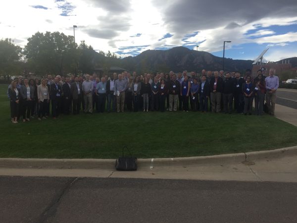
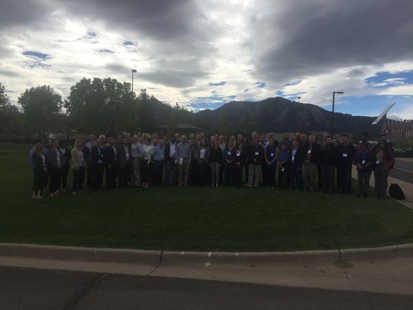
Group Photos
Organizers
Beth Tellman, Cloud to street
Guy Schumann, RSS
Albert Kettner, DFO


