File:Flood.gif
From CSDMS
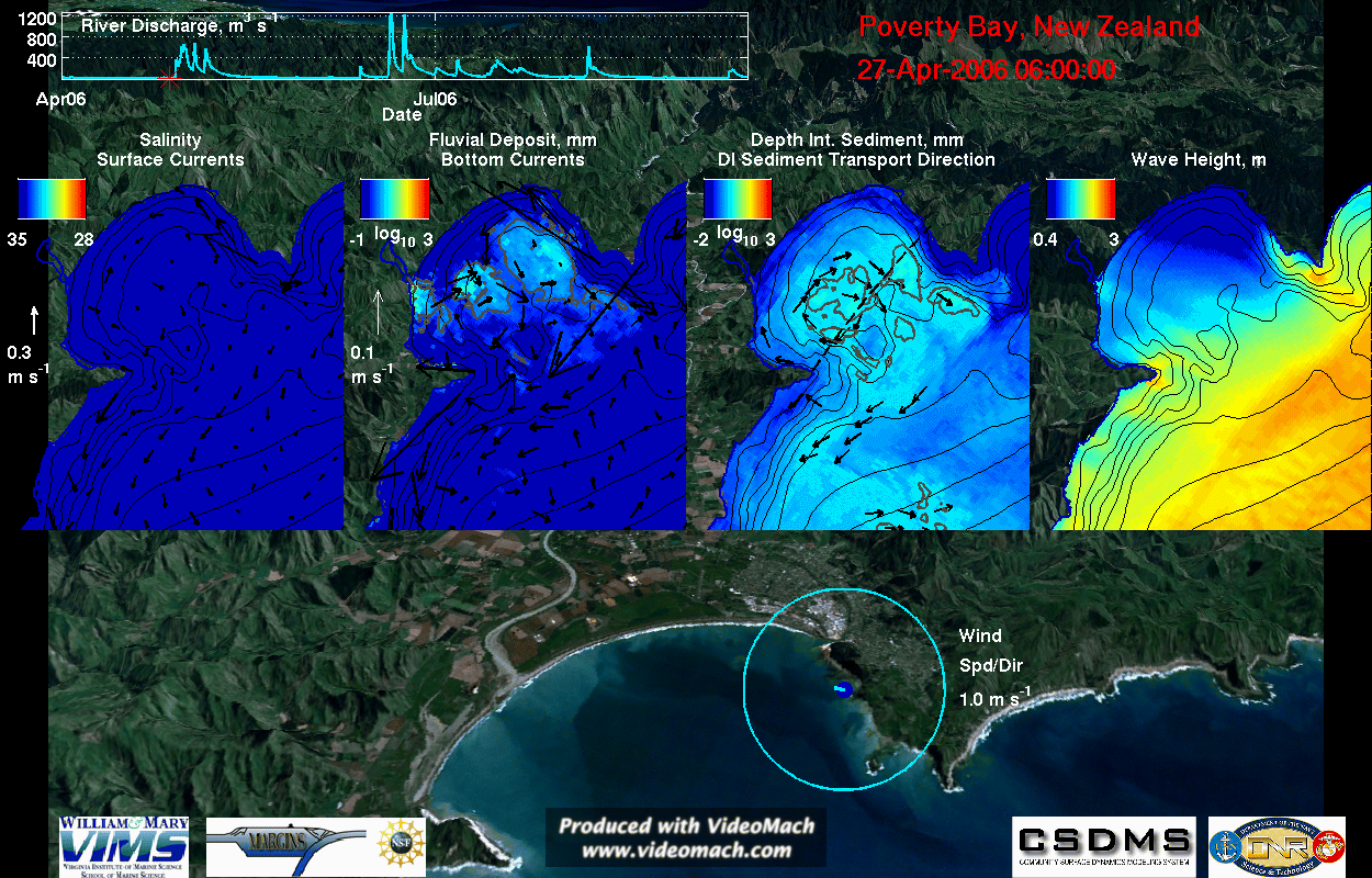
Revision as of 08:08, 10 November 2010 by Abever (talk | contribs) (This is a visualization of coupled ROMS-SWAN results for a small elevated discharge period. The visualization highlights both the sediment export from Poverty Bay and the sediment deposition within Poverty Bay during elevated river discharge. Hydrodynamic)
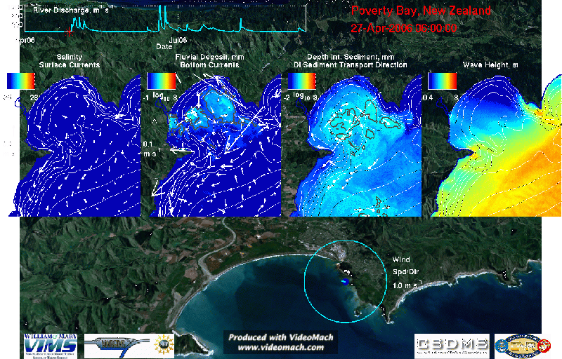
Size of this preview: 800 × 512 pixels. Other resolutions: 1,024 × 655 pixels | 1,250 × 800 pixels.
Original file (1,250 × 800 pixels, file size: 72.28 MB, MIME type: image/gif, looped, 119 frames, 15 s)
Note: Due to technical limitations, thumbnails of high resolution GIF images such as this one will not be animated.
This is a visualization of coupled ROMS-SWAN results for a small elevated discharge period. The visualization highlights both the sediment export from Poverty Bay and the sediment deposition within Poverty Bay during elevated river discharge. Hydrodynamics, sediment-transport, waves, wind, and river discharge are shown.
File history
Click on a date/time to view the file as it appeared at that time.
| Date/Time | Thumbnail | Dimensions | User | Comment | ||
|---|---|---|---|---|---|---|
| delete all | current | 08:08, 10 November 2010 | | 1,250 × 800 (72.28 MB) | Abever (talk | contribs) | This is a visualization of coupled ROMS-SWAN results for a small elevated discharge period. The visualization highlights both the sediment export from Poverty Bay and the sediment deposition within Poverty Bay during elevated river discharge. Hydrodynamic |
You cannot overwrite this file.
File usage
The following page uses this file:
