Alldata:OpenTopography
OpenTopography dataset information page
Short Description
 |
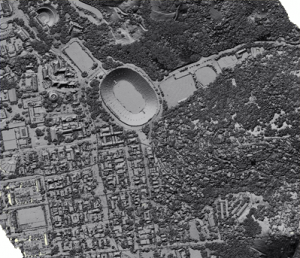
| LIDAR map example |
Statement: A Portal to Hig-Resolution Topography Data and Tools
Abstract: The OpenTopography Portal is a collaboration between computer scientists at San Diego Supercomputer Center and earth scientists at Arizona State University.
The OpenTopography Portal is a GEON Project initiative to build an online system that provides integrated access to high-resolution topographic data, web-based processing tools, and enables the user community to share knowledge, experiences and resources. The OpenTopography Portal incorporates the GEON LiDAR Workflow (GLW) system for LiDAR point cloud access and processing and adds mechanisms for access to other data types. The goal of OpenTopography is to provide a portal where access to various public domain airborne and terrestrial LiDAR, bathymetry, and other topographic data can be centralized.
Data format
| Data type: | Topography |
| Data origin: | |
| Data format: | ArcExport, Shapefile, Binary, ASCII |
| Other format: | |
| Data resolution: | variable but high |
| Datum: |
Data Coverage
Spatial data coverage: United States, Alaska, Hawaii, and the island territories.
Temporal data coverage: Time snap shot
Time period covered:
Availability
Download data: http://www.opentopography.org/index.php
Data source: http://www.opentopography.org/index.php
