File:FloodedMap.jpg
From CSDMS
FloodedMap.jpg (666 × 592 pixels, file size: 44 KB, MIME type: image/jpeg)
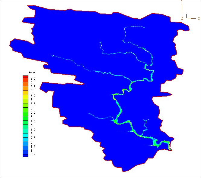
The flooded map of flash flood in Upper Little Missouri River on June 11 2010.
File history
Click on a date/time to view the file as it appeared at that time.
| Date/Time | Thumbnail | Dimensions | User | Comment | ||
|---|---|---|---|---|---|---|
| delete all | current | 01:04, 1 December 2012 |  | 666 × 592 (44 KB) | Ndphu (talk | contribs) | The flooded map of flash flood in Upper Little Missouri River on June 11 2010. |
You cannot overwrite this file.
File usage
There are no pages that use this file.

