Data:NLCD 2001
NLCD 2001 dataset information page
Short Description
 |
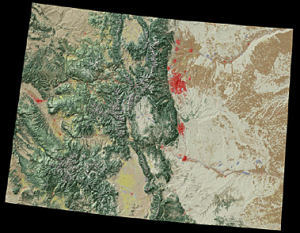
| State of Colorado NLCD example |
Statement: National Land Cover Database of 2001
Abstract: The Multi-Resolution Land Characteristics Consortium (MRLC) has completed the National Land Cover Database (NLCD) 2001 products for the conterminous United States, Hawaii, Alaska and Puerto Rico at 30 m cell resolution. The NLCD 2001 products (land cover, impervious surface and canopy density) were generated from a standardized set of data layers mosaicked by mapping zone. Typical zonal layers included multi-season Landsat 5 and Landsat 7 imagery centered on a nominal collection year of 2001, and Digital Elevation Model based derivatives at 30 meters spatial resolution. NLCD 2001 used an improved classification algorithm from NLCD 1992, resulting in a more precise rendering of spatial boundaries between 16 classes of land cover (additional classes are available in coastal areas and Alaska only).
Data format
| Data type: | Land Cover |
| Data origin: | Modeled |
| Data format: | Shapefile |
| Other format: | |
| Data resolution: | 30meter |
| Datum: |
Data Coverage
Spatial data coverage: United States, Alaska, Hawaii, and the island territories.
Temporal data coverage: Time snap shot
Time period covered: 2001
Availability
Download data: http://www.mrlc.gov/nlcd.php
Data source: http://www.mrlc.gov/nlcd.php
