Data:AI&ML Challenge Dataset
AI&ML Challenge Dataset dataset information page
Short Description
 |
| Example Challenge Predictands |
Statement: Machine Learning 'Challenge Dataset' for the Seabed
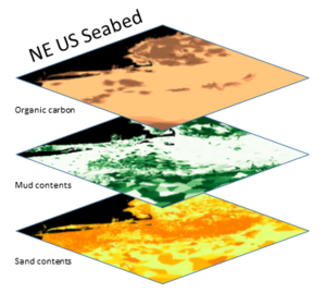
Abstract: We present data for use with ML, dealing with the sediment/rock substrates of the NE USA Continental Margin. The pointwise Labelled Data from seabed observations should be spatially extended over the entire area in an intelligent way. To aid that, environmental Feature Layers can be employed to train any chosen Machine Learning method. The trained ML model is then extended across all the vacant areas. The result predicts what the seabed is made of, so that survey operations (including research) can be planned, or biogeochemical budgets can be calculated. The idea of the Challenge Dataset is to permit people - researchers and students - to experiment with their own Machine Learning algorithms and data-preparation adjustments to achieve the BEST POSSIBLE mapping over the area. Metrics on the uncertainties should also be computed. For the time being the mappings are in terms of mud/sand/gravel, rock exposure, and carbonate and organic carbon contents. See the Powerpoint file in the Zipfile for further instructions.
Data format
| Data type: | Substrates |
| Data origin: | Measured |
| Data format: | |
| Other format: | zip |
| Data resolution: | ~1km |
| Datum: | WGS84 |
Data Coverage
Spatial data coverage: NE USA Continental Margin
Temporal data coverage: Time averaged
Time period covered: Post 1930
Availability
Download data: http://instaar.colorado.edu/~jenkinsc/CSDMS AI&ML/DataChallenge/DataChallenge 4AI&ML.zip
Data source: http://instaar.colorado.edu/~jenkinsc
