CSDMS 2014 annual meeting poster Jordan Adams
Modeling hydrologic and erosional responses of landscapes to fire using the Landlab modeling environment
Nicole Gasparini, Tulane University New Orleans Louisiana, United States.
Gregory Tucker, University of Colorado Boulder Colorado, United States.
Erkan Istanbulluoglu, University of Washington Seattle Washington, United States.
Eric Hutton, CSDMS Boulder Colorado, United States.
Daniel Hobley, University of Colorado Boulder Colorado, United States.
Sai Siddhartha Nudurupati, University of Washington Seattle Washington, United States.
Abstract:
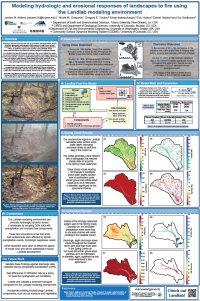
Landscape response to fire has been well documented in field observations, but the effects beyond a single fire are not well understood. Utilizing models to understand this response through time is critical, as significant erosion events post-fire could potentially disrupt steady- state landscapes and affect both short and long-term landscape evolution. Additionally, problems arise when climate change is also considered, as anthropogenic influences such as land use change or fire cessation programs have actually exacerbated fire recurrence. To understand and quantify landscape response to fire across multiple time scales, the Landlab modeling environment is used to explore the morphological impacts of erosion events post-fire. Landlab, a highly flexible plug-and-play modeling framework, can link together digital elevation model (DEM)-based grids, stochastic storm and fire generators, as well as overland flow and sediment transport modules to simulate scenarios that may cause large flow or erosion events in the first post-fire year. The parameters in these components are drawn from the existing post-fire literature and are applied across two grids of varying resolution. The coarser, 1-m DEM is from the Spring Creek watershed in Colorado, which burned in the 1996 Buffalo Creek fire and experienced significant erosion in the aftermath. The high-resolution 5-cm DEM from the Chiricahua Mountains in southeastern Arizona represents a small watershed that burned in the 2011 Horseshoe 2 fire, after which nearby sites experienced massive debris flows following a significant 5-year precipitation event. Both sites experienced the same intensity (I30 = 72 mm/hr) storm post-fire, but had significantly different erosional and hydrologic responses. The model will be validated using field data from the Spring Creek site, collected by the USGS several years post-fire, and then applied to the Chiricahua site. In addition to validating Landlab’s suitability for post-fire modeling, the results can also shed light on what processes drive post-fire erosional responses across the different climate regimes of Colorado and Arizona, and how those responses may affect the morphology of these sites over much longer time scales.
* Please acknowledge the original contributors when you are using this material. If there are any copyright issues, please let us know and we will respond as soon as possible.
