Main Page
Explore Earth's surface with community software

Join Greg Tucker and Eric Hutton for an upcoming webinar: Landlab Developers and Users Meeting
When: 2026/03/11
10:00 am MDT
Register now
 CSDMS @csdms.bsky.social
Assistant Professor opportunity in Soil Physics, Ecohydrology, or Hydropedology at the University of Minnesota. Apply by 13 March. See also: csdms.colorado.edu/wiki/Jobs
Posted on: 2026-02-20
CSDMS @csdms.bsky.socialPostdoc opportunity in Environmental Soil Physics at Penn State. See also: csdms.colorado.edu/wiki/Jobs
Posted on: 2026-02-19
CSDMS @csdms.bsky.socialAssistant professorship opening at small teaching focused university (Virginia Wesleyan University). Reviewing starts 1 March. See also: csdms.colorado.edu/wiki/Jobs
Posted on: 2026-02-17
CSDMS @csdms.bsky.socialFresh off the press, an amazing application by Beatriz Boggiani of landscape evolution modeling of the Permian redbeds and copper occurrence. Uses paleo-topography and climate to create a source to sink reconstruction of a continental scale basin.
agupubs.onlinelibrary.wiley.com/doi/full/10....
Posted on: 2026-02-17
CSDMS @csdms.bsky.socialGraduate Research Assistant Position at Clemson University. Apply by 10 April. See also: csdms.colorado.edu/wiki/Jobs
Posted on: 2026-02-16
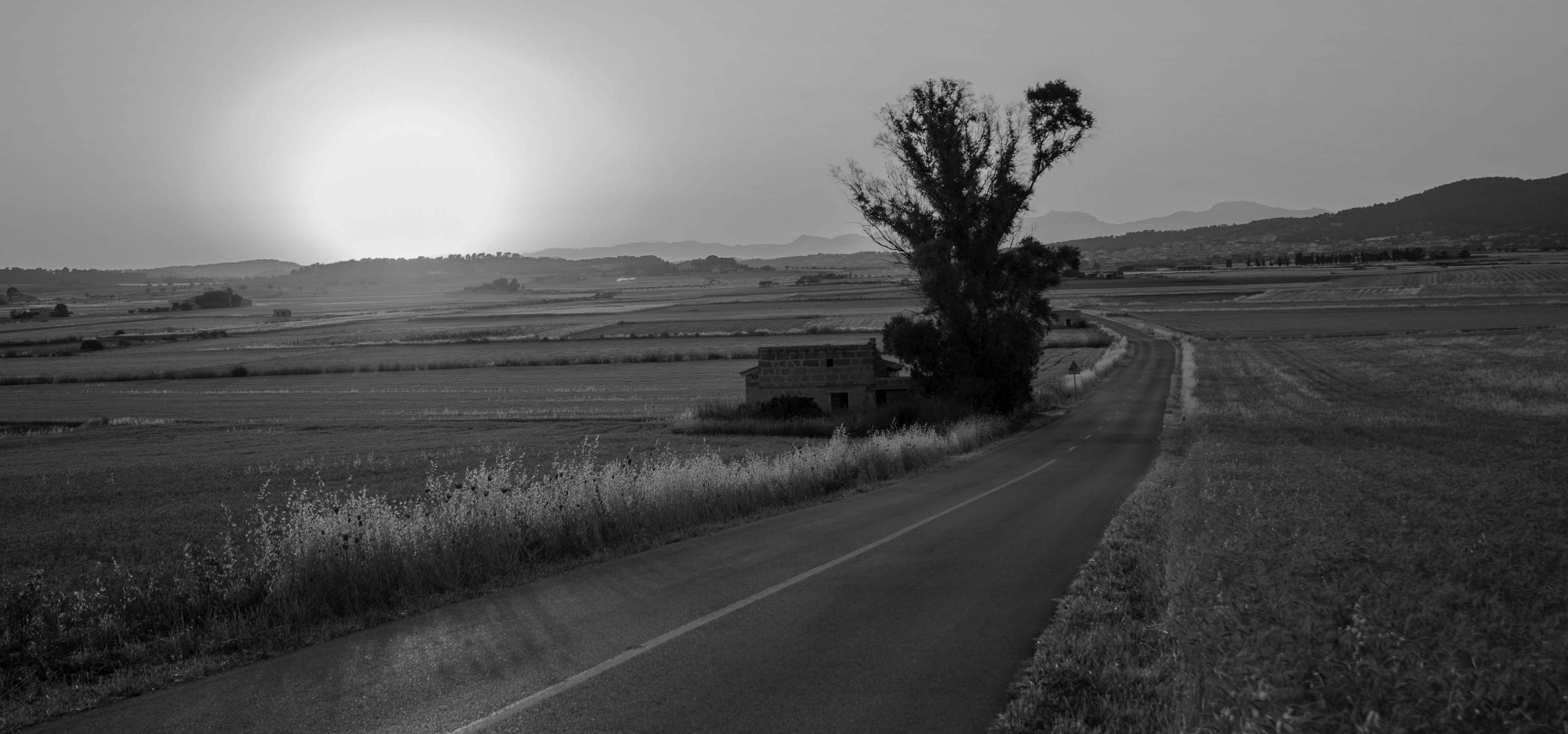
Comb Ridge: story of a landform: During the week of the Thanksgiving holiday, I had the opportunity to visit a remote part of southeastern Utah near the Bears Ears National Monument. A striking feature of this landscape is a long hogback called Comb Ridge, or Tséyik’áán in Navajo. The ridge is formed from layers of thick, hard .....