Data:Global Topography
Global Topography dataset information page
Short Description
| Topography of the world |
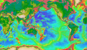
Statement: Global Map of Sea Floor Topography Based on Satellite Altimetry & Ship Depth Soundings
Abstract: The presented global ocean bathymetry map is the most complete, high-resolution image of sea floor topography currently available (1997). The map was constructed by blending depth soundings collected from ships with detailed gravity anomaly information obtained from the Geosat and ERS-1 satellite altimetry missions. This combination of data yields a globally uniform level of resolution ideal for displaying major tectonic features, such as mid-ocean spreading ridges or fracture zones.
Data format
| Data type: | Topography |
| Data origin: | Modeled |
| Data format: | GeoTIFF, ASCII |
| Other format: | GTM/Postscript |
| Data resolution: | 1minute |
| Datum: |
Data Coverage
Spatial data coverage: Global (72N to 72S)
Temporal data coverage: Time snap shot
Time period covered:
Availability
Download data: http://topex.ucsd.edu/WWW html/mar topo.html
Data source: http://topex.ucsd.edu/WWW html/mar topo.html
References
- Smith, W. H. F., and D. T. Sandwell, Global seafloor topography from satellite altimetry and ship depth soundings, Science, v. 277, p. 1957-1962, 26 Sept., 1997.

